Flood Watch 2013
Posted: February 28th, 2013, 2:34 pm
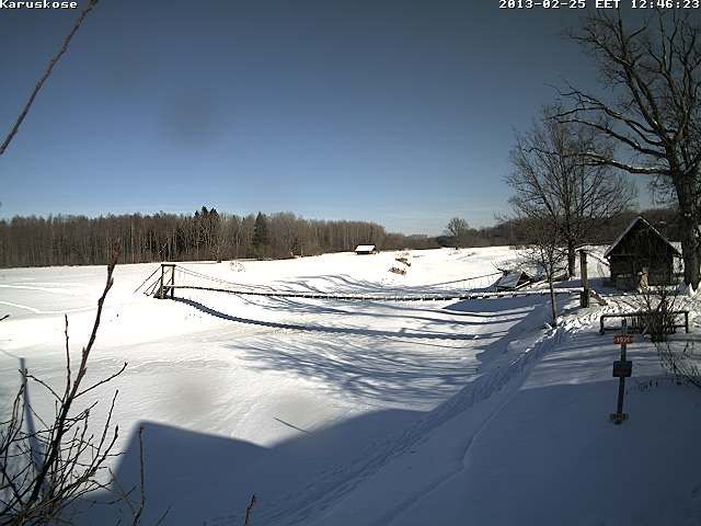
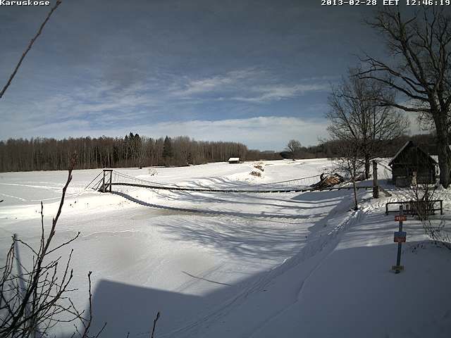
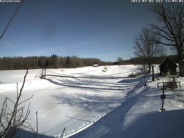
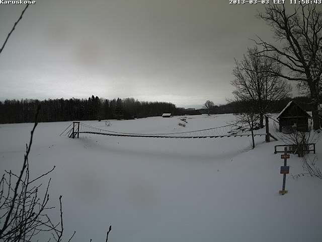
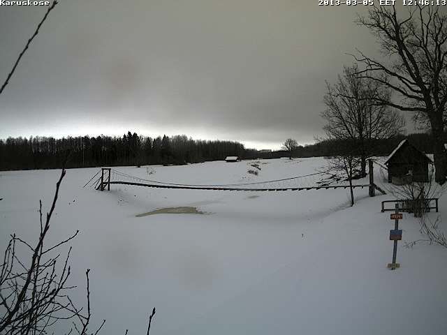
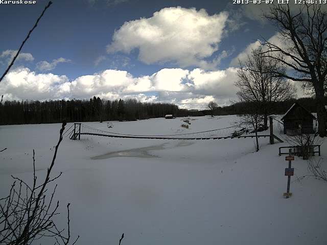
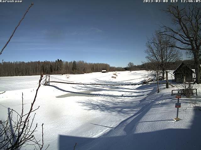
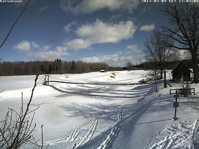
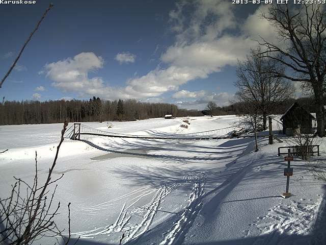
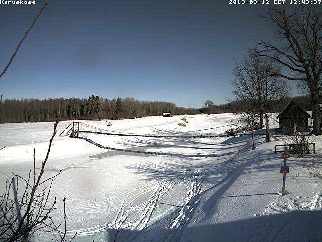
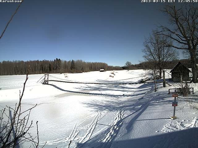
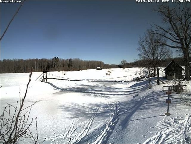
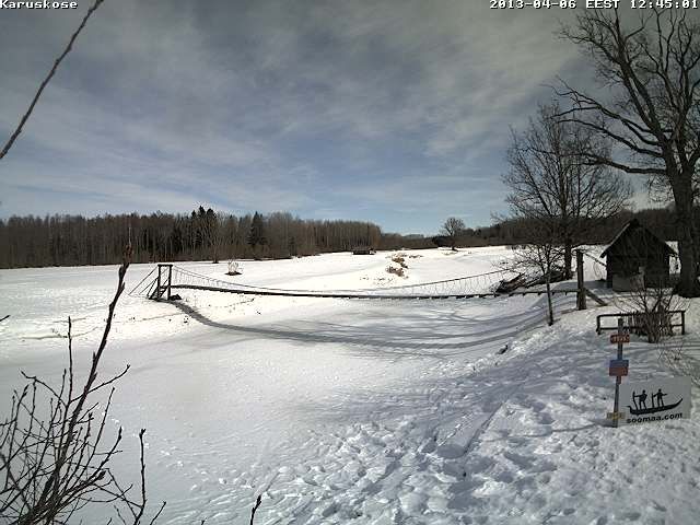
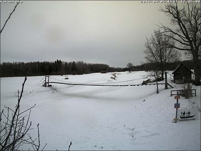
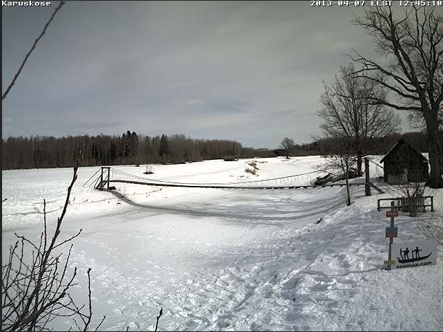
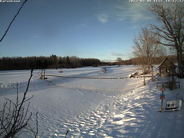
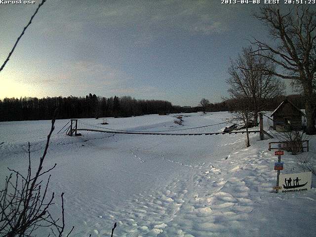
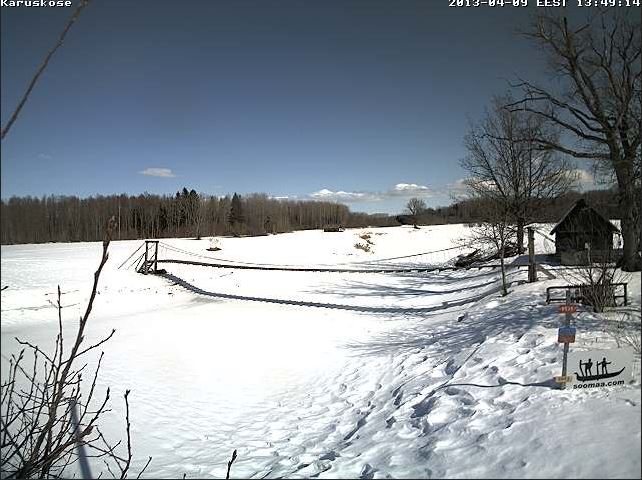
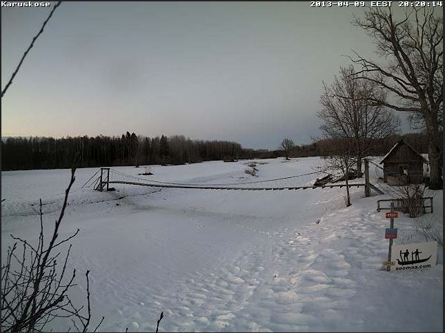
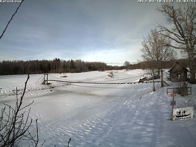
This webcam will show us the rise of floodwater in changing conditions, at any time of year.
Webcam - http://www.veebikaamera.ee/fl/live/karuskose.jpg
Loduskalender article in 2010
http://www.looduskalender.ee/en/node/6939
'Fifth season' in Soomaa
Submitted by Looduskalender on 28 March 2010 - 9:46am
It seems to be truly the last moment to start following the "fifth season” of Soomaa.
The web camera image is renewed at intervals up to a few minutes, depending on the transmission conditions (see live image HERE ). For an overall view this interval is quite sufficient. A mark showing last year’s highest water level will soon be put up at the web camera location at Karukosk at Raudna river.
The Riisa station of EMHI, the Estonian Meteorological and Hydrological Institute, is located a few kilometres downstream along Halliste river from the outflow of Raudna, and reflects the water level in Soomaa (see graph below).
Why do we also add EMHI’s snow cover map, renewed every day? Because there is still emough snow left in Soomaa, and the ditches haven’t yet started carrying the water into the rivers.
Floods can also be observed in the Regio map. The NASA satellite image, renewed daily, is used as a basis. It needs only enlarging the map at Soomaa’s position. The ground and water surfaces can only be seen in clear, cloudless weather.
A great number of splendid people and organisations assist the enterprise. Many thanks to them!
Camera – Mobotix, Beta Group – Veematkad
Video transmission from Soomaa to the Beta Group server - Televõrgu AS
Installation works – ITrotid OÜ
Technical support – Sonictest OÜ
Soomaa expertise – Soomaa.com
Hydrological data – EMHI
Soomaa map – Regio
...and the eagle-eyed nature enthusiasts at Looduskalender´s forum
See pictures from the camera installation here - 26.-27. March 2010.
http://www.reisijutud.com/gallery/Soomaa270310