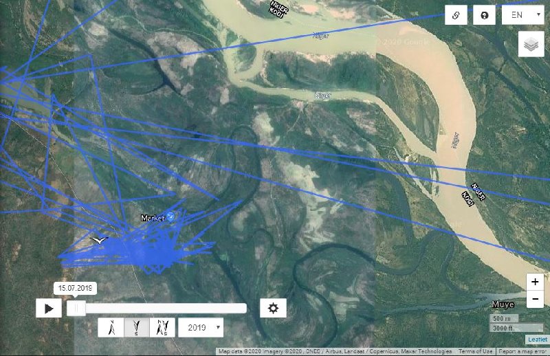
20. January
(15.01.)
Eurasian Crane
 Ahja 6
 (
17.01.) -
10724 km (+ 65 km) -
21.6 km / day
Ahja 7 (
17.01.) -
10764 km (+ 65 km) -
21.6 km / day
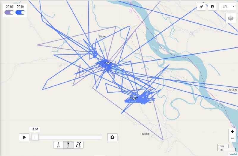
Ahja 6 and Ahja 7 are both still in the fields between the town of Sululta and Gulele.
Aivar (
17.01.) -
5960 km (+ 44 km) -
22 km / day
Aivar is again in the wetland between Liebenbergersee (lake) and Maxsee (lake) ... still close to Berlin (Germany)
Hauka 3 (
17.01.) -
6999 km (+ 62 km) -
31 km / day
Hauka 3 is located in eastern Croatia near the town of Slavonski Brod. It is located by the fish ponds (Jelas Ribnjaci) and in the surrounding fields.
Helju (
13.01.) -
5687 km (+ 79 km)
Helju is still in the Kiskunsági National Park (near the town of Szabadszállás)
Ivar (
15.01.) -
4945 km (+ 193 km) -
38.6 km / day
Ivar flew south of his location (city of Enfidha, airport (Enfidha Hammamet). He flew past Sebkha Kelbia, stayed at Sebkhet Cherita and is now on Sebkhet Bou Jemel near Manzil Sakir.

 The Sebkha Kelbia (سبخة الكلبية) is an intermittent lake in Tunisia that covers 8000 hectares in Sousse Governorate, at 35 ° 50'34 "North, 10 ° 16'18" East, south of Kondar.
Considered the second most important wetland in the country after lake Ichkeul, it is classified a nature reserve by decree of the Ministry of Agriculture of 18 December 1993. The Oued Nebhana, Oued Merguellil and Oued Zeroud rivers flow into the dry lakebed during rainfall season, but are now controlled by dams protecting the plain against the floods. The dams coupled with the operation of large agricultural irrigation schemes have had an environmental impact on the sebkha, which has not been studied to date. The agricultural population living around Sebkha Kelbia is estimated at about 23,000 people.
The Sebkhet Cherita is a salt lake wetland in the Sousse Governorate of Tunisia, 25 kilometers southwest of the city of Sousse and 25 kilometers southeast of the city of Kairouan. [1] It covers an area of 11600hectares and is 17 by 9 kilometers wide. Fueled by several wadis, such as the Oued Merguellil, Oued Nebhana and Oued Zeroud. [2]
Although the lake is in the Sahel, it supports diverse flora ecosystems and diverse range of water birds. The catchment system area is 360 km² and the system empties into the Mediterranean Sea.
Sebkhet Bou Jemel (Sebkhet Bou Jemel) is a sabkha (s) (class H - Hydrographic) in (Safaqis), Tunisia (Africa) with the region font code of Africa / Middle East.
A Sabkha (s) is a salt flat or salt encrusted plain subject to periodic inundation from flooding or high tides.